Dataset: Freiburg Across Seasons
 Tayyab Naseer, Luciano Spinello, Cyrill Stachniss , Wolfram Burgard
Tayyab Naseer, Luciano Spinello, Cyrill Stachniss , Wolfram Burgard
Tayyab Naseer, Luciano Spinello, Cyrill Stachniss , Wolfram Burgard
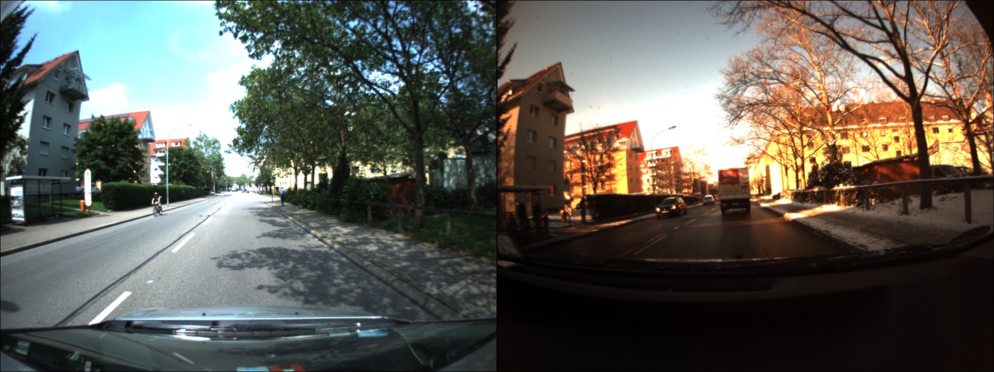
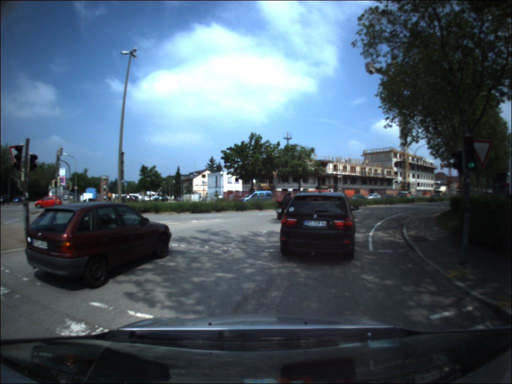
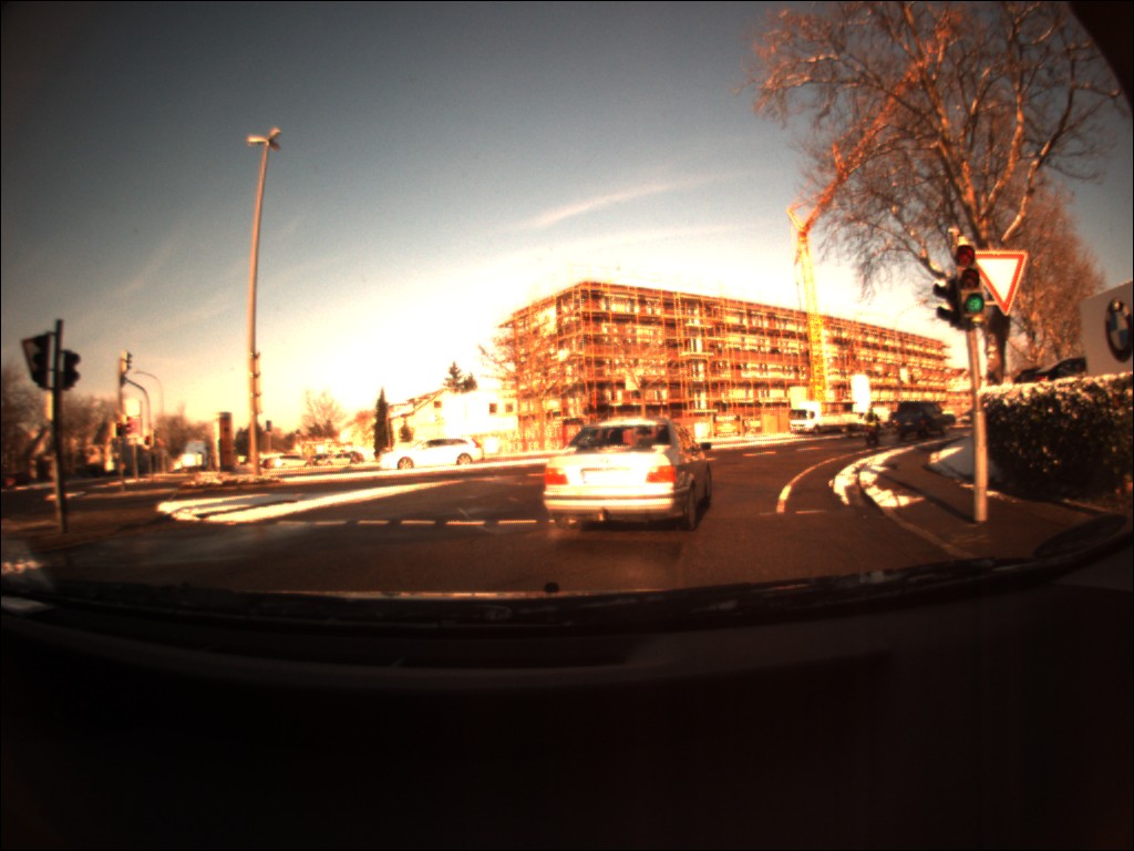
This dataset captures the longterm perceptual changes across a span of 3 years. We recorded the image sequences with a forward facing bumblebee stereo camera mounted on a car. During summer, the camera was mounted outside the car where as during winters the camera was inside the car. The image sequences are recorded at relatively low frame rates of 1Hz and 4Hz. All the images have a resolution of 1024 × 768 (width×height) and are JPEG compressed. We do not perform any preprocessing on the recorded images. We provide stereo images for the all the recorded sequences which can be further used to extract the depth information of the scene. All the images are geo- tagged with the corresponding GPS positions (which have been recorded with an inexpensive GPS sensor). We recorded the first sequence in May 2012 covering a distance of 10 km. It contains 6915 images recorded at 1 Hz. While driving through the city, we encountered all the natural driving maneuvers. The next sequence was recorded in Winter 2012 during the month of December to capture the large perceptual changes over these months. This sequence covers a distance of 50 km. It contains 30, 790 images recorded at 4 Hz. We recorded the third sequence in Summer 2015 during the month of May and it contains 5, 392 images. We recorded two sequences that captured summer season in May 2012 and May 2015, therefore we define them as Localization-1 and Localization-2 respectively. The sequence recorded in Winter 2012 is defined as the Mapping sequence. We provide ground truth for all the localization sequences with reference to the Mapping sequence. All the images have been hand-labeled after manual visual inspection for the ground truth matching. We rank the images based on their GPS positions and then manually select all the images from the mapping sequence which correspond to the same place as from the localization sequence. Localization-2 has 4,477 images that correspond to the same place as in the Mapping sequence. This sequence provides a denser ground truth than Localization-1 which has 3, 656 images representing same places. In total, we provide ground truth matchings for 8,133 images.
Please cite our work if you use our Dataset or report results based on it.
The Freiburg Across Seasons Dataset is released under the Creative Commons license CC BY-SA 4.0.
The attached archive contains images from all three runs around Freiburg and the groundtruth matchings.